


Montenegro, country located in the west-central Balkans at the southern end of the Dinaric Alps. It is bounded by the Adriatic Sea and Croatia (southwest), Bosnia and Herzegovina (northwest), Serbia (northeast), Kosovo (east), and Albania (southeast).
Montenegro’s administrative capital is Podgorica, though its cultural centre is the historical capital and older city of Cetinje. For much of the 20th century Montenegro was a part of Yugoslavia, and from 2003 to 2006 it was a component of the federated union of Serbia and Montenegro.
Land
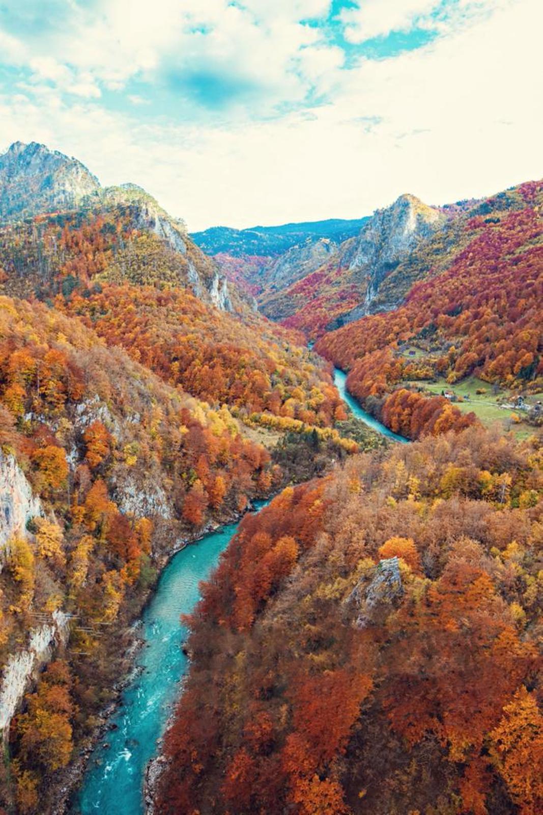
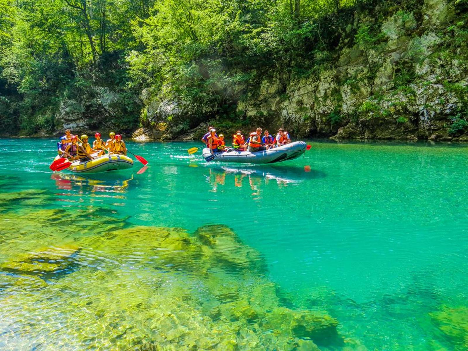
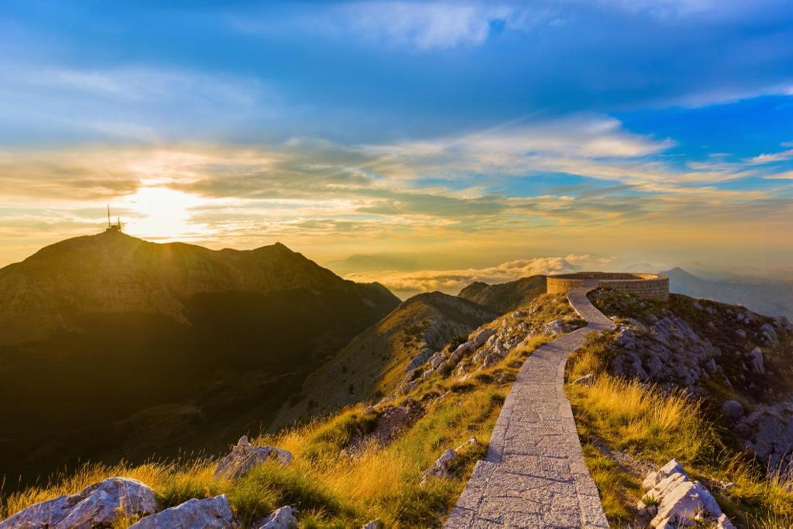
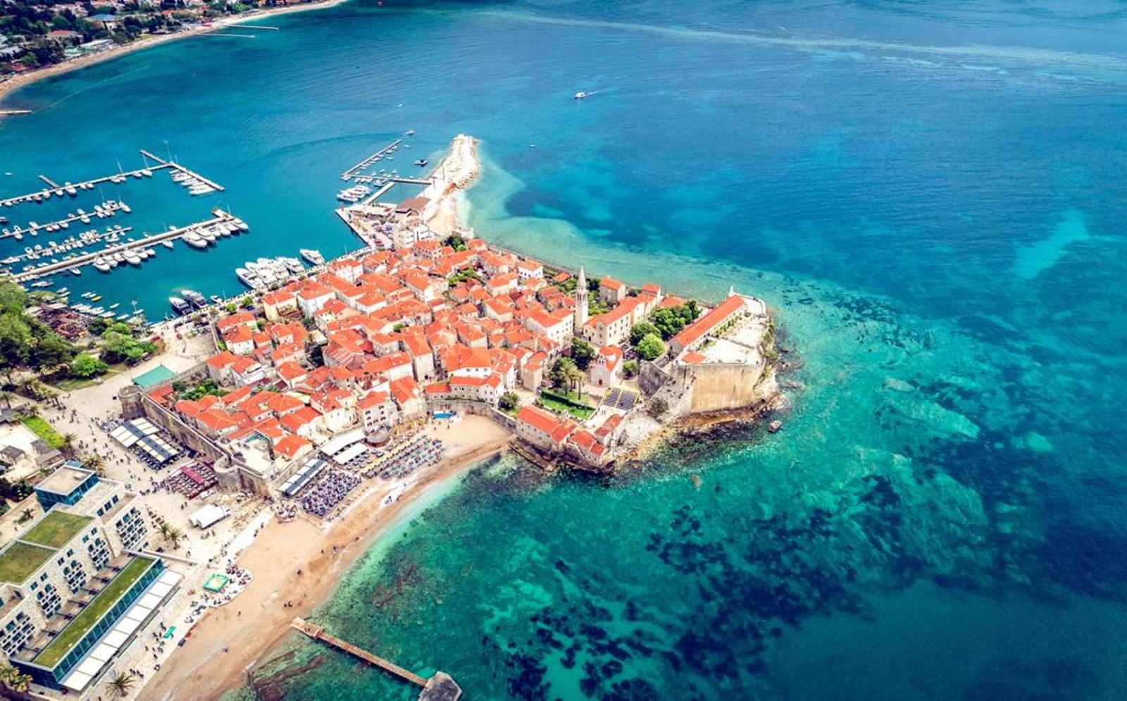
The country’s names—both Montenegro (from Venetian Italian) and Crna Gora—denote “Black Mountain,” in reference to Mount Lovćen (5,738 feet [1,749 metres]), its historical centre near the Adriatic Sea and its stronghold in the centuries of struggle with the Turks. Alone among the Balkan states, Montenegro was never subjugated. The old heartland of Montenegro, in the southwest, is mainly a karstic region of arid hills, with some cultivable areas—e.g., around Cetinje and in the Zeta valley. The eastern districts, which include part of the Dinaric Alps (Mount Durmitor), are more fertile and have large forests and grassy uplands. The drainage system of Montenegro flows in two opposite directions. The Piva, Tara, and Lim rivers follow northerly courses, the Morača and Zeta rivers southerly ones.
Relief
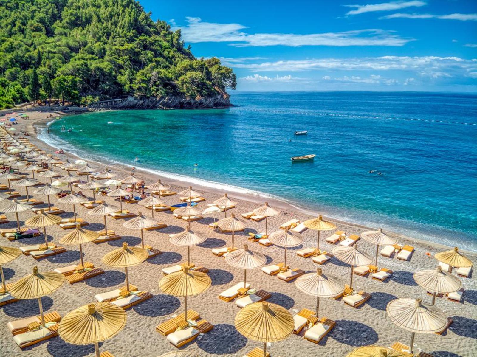
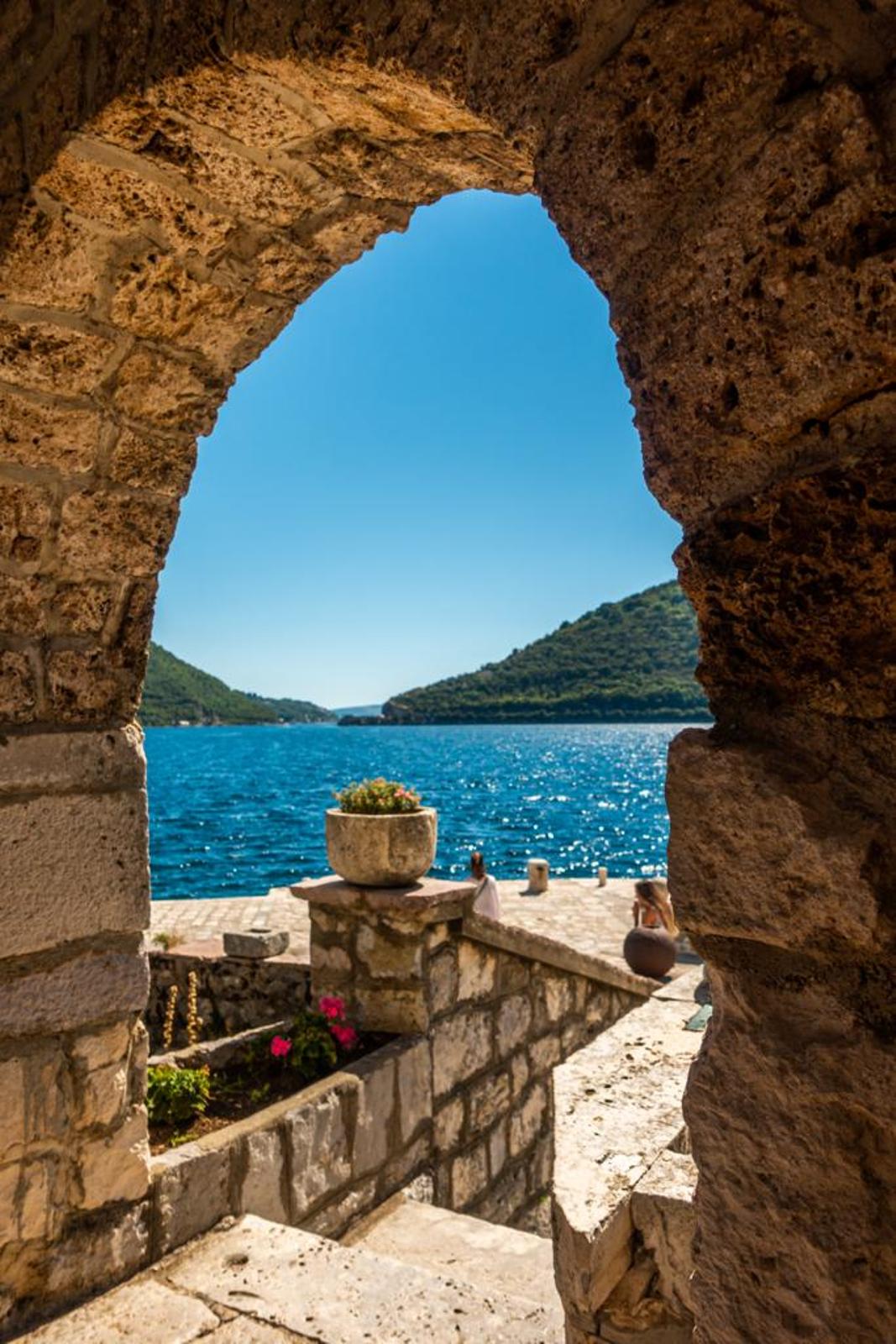
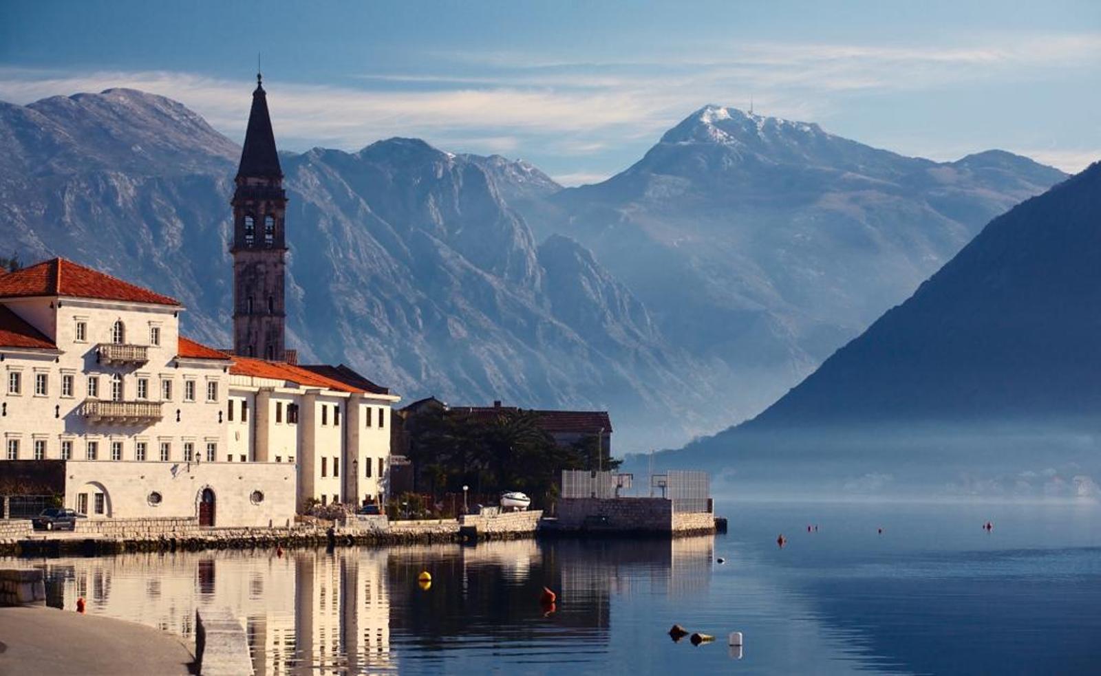
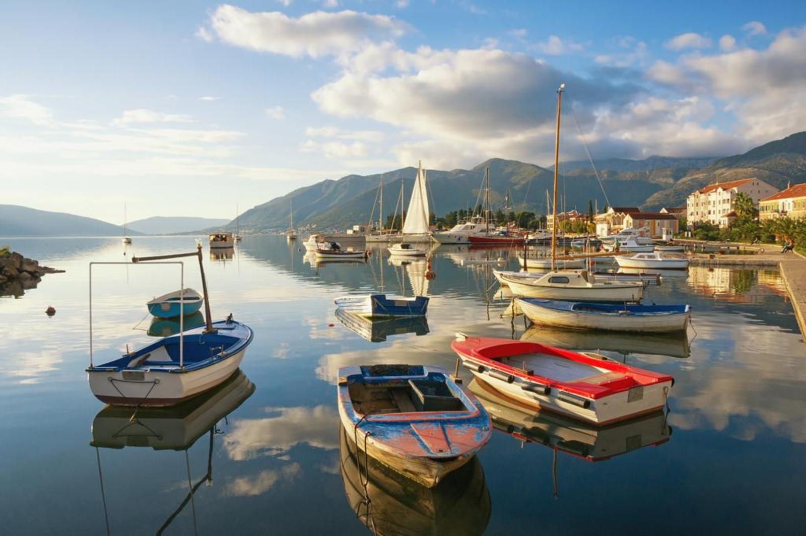
The terrain of Montenegro ranges from high mountains along its borders with Kosovo and Albania, through a segment of the Karst region of the western Balkan Peninsula, to a narrow coastal plain that is only 1 to 4 miles (2 to 6 km) wide. The coastal plain disappears completely in the north, where Mount Lovćen and other peaks rise abruptly from the inlet of the Gulf of Kotor. The coastal region is noted for seismic activity.
Montenegro’s section of the Karst lies generally at an elevation of 3,000 feet (900 metres) above sea level—although some areas rise to 6,000 feet (1,800 metres). The lowest segment is in the valley of the Zeta River, which is at about 1,500 feet (450 metres). The river occupies the centre of Nikšić Polje, a flat-floored, elongated depression typical of karstic regions, as is the predominantly limestone underlying rock, which dissolves to form sinkholes and underground caves.
The high mountains of Montenegro include some of the most rugged terrain in Europe and average more than 7,000 feet (2,000 metres) in elevation. Notable is Bobotov Peak in the Durmitor Mountains, which reaches 8,274 feet (2,522 metres) and is the country’s highest point. The Montenegrin mountains were the most ice-eroded section of the Balkan Peninsula during the last glacial period.
Climate
Montenegro’s lower areas have a Mediterranean climate, with dry summers and mild, rainy winters. Temperature varies greatly with elevation. Podgorica, lying near sea level, is noted for having the warmest July temperatures in the country, averaging 81 °F (27 °C). Cetinje, in the Karst region at an elevation of 2,200 feet (670 metres), has an average temperature that is 10 °F (5 °C) lower. Average January temperatures range from 46 °F (8 °C) at Bar on the southern coast to 27 °F (−3 °C) in the northern mountains.
Montenegro’s mountainous regions receive some of the highest amounts of rainfall in Europe. Annual precipitation at Crkvice, in the Karst above the Gulf of Kotor, is nearly 200 inches (5,100 mm). Like most areas along the Mediterranean Sea, precipitation occurs principally during the cold part of the year, but in the higher mountains a secondary summer maximum is present. Snow cover is rare along the Montenegrin coast, averaging 10 days in karstic polje depressions and increasing to 120 days in the higher mountains.

